
PROFESSIONAL SPATIAL DATA SERVICES


Geoverse
GEOVERSE software
We are the sole distributor of the Geoverse software, Australian company Euclideon.
The Geoverse package includes the Geoverse Convert and Geoverse MDM. Geoverse Convert is responsible for processing the LIDAR data to the required form and format, and that enables the right cooperation with the Geoverse MDM. The Geoverse software is currently the most efficient tool for visualization and managment of data from the LIDAR laser scanning. The implementation of the innovative data visualization method in the software enables managing, quality control and analysis of hugeamounts of LIDAR data and reduction of the data file sizes. The Geoverse software enables conversion and visualization of data recorded in many popular data formats as: UDS, OBJ, BIN, e57, LAS, LAZ, FLS, PTS, PLY, PTX, XYB XYZ/TXT and LlargBin.

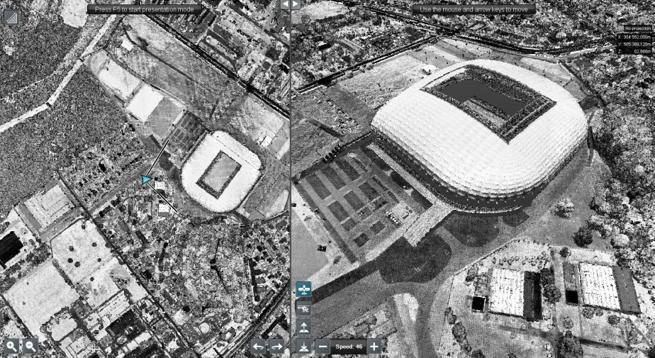
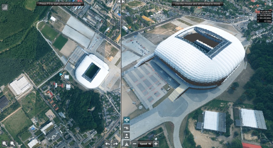
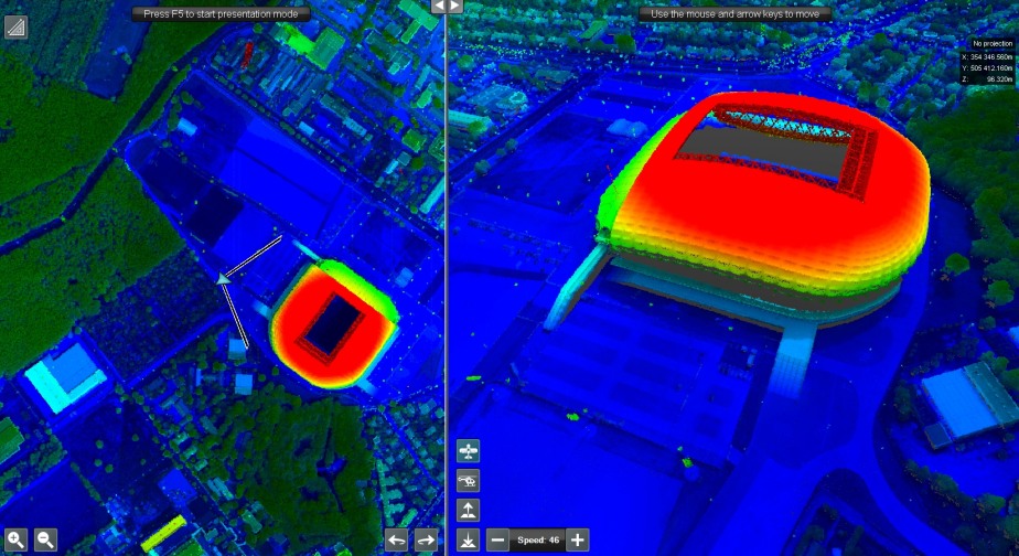
Stadium in Poznan City. RGB point cloud, density 12 pkt/m2.
Operating GEOVERSE
The Geoverse software was successfully applied during the ISOK project as part of the control operations performed by INiK (Supervision and Control Inspector). The software efficienty enables visual control, correctness control of classification and intensity of reflecting the signal provided in order to control the LIDAR Blocks. It is worth mentioning that LIDAR Block, elaborated during the ISOK project, constituted a LIDAR data processing unit, the area of which usually included several hundred up to a thousand sq km.
The volume of the delivered data in the ISOK project in form of LAS files of a LIDAR Block equals 350 GB. After converting it using the Geoverse software, tha data file size was reduced to the size of 50 GB, that is 15 % of the primary data size. Such amount of data converted to the form of one USD file enables smooth browsing, analysing and processing to the required form and range of Geoverse software.

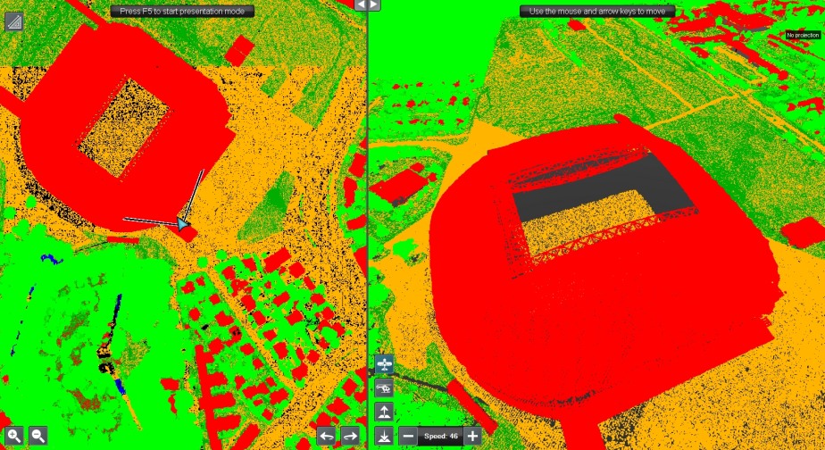
Road Infrastructure. Point cloud - density 12 pkt/m2. The view by intensity.
30-day version
In order to find out more about the entire potential of the Geoverse software we encourage you to contact us and to download a 30-days trial version.
Software sale and technical support: geoverse@geoxy.pl
More information - on our YouTube channel.
Special offer
For clients related to college and university education each order will be equipped with additional so called Educational package including LIDAR data in LAS files format, a set of aerila photos, a camera metric, INS/GPS and DTM data, which enable individual performance of photogrammetric projects for the area of several hundred sq km.